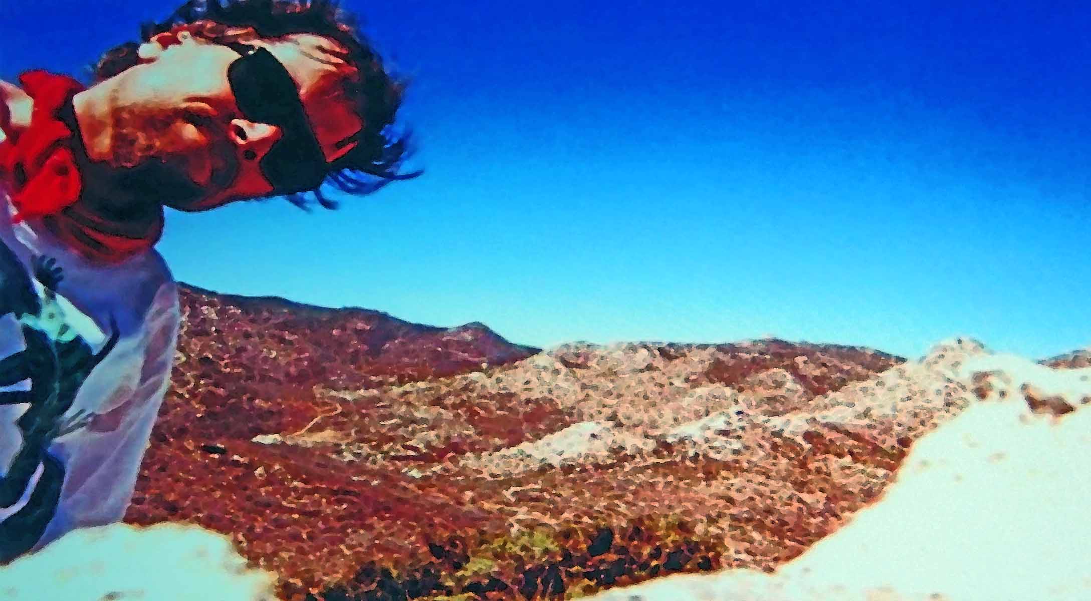
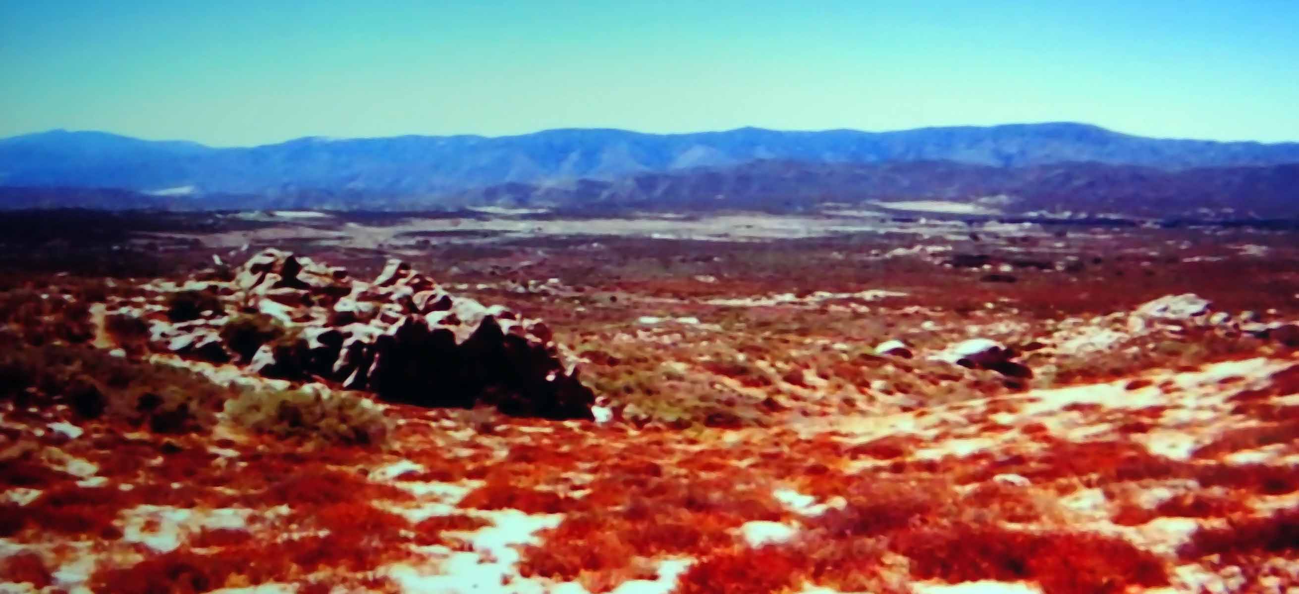
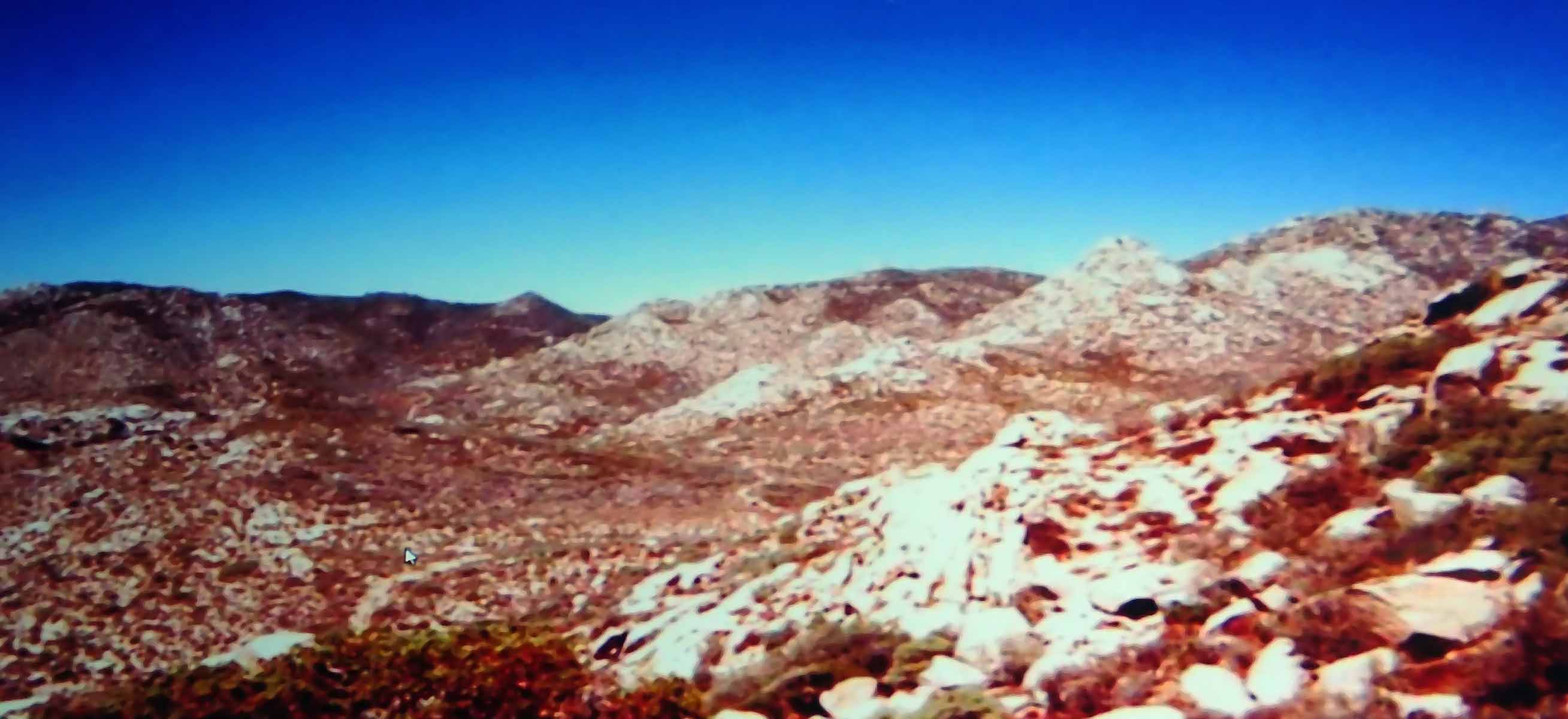
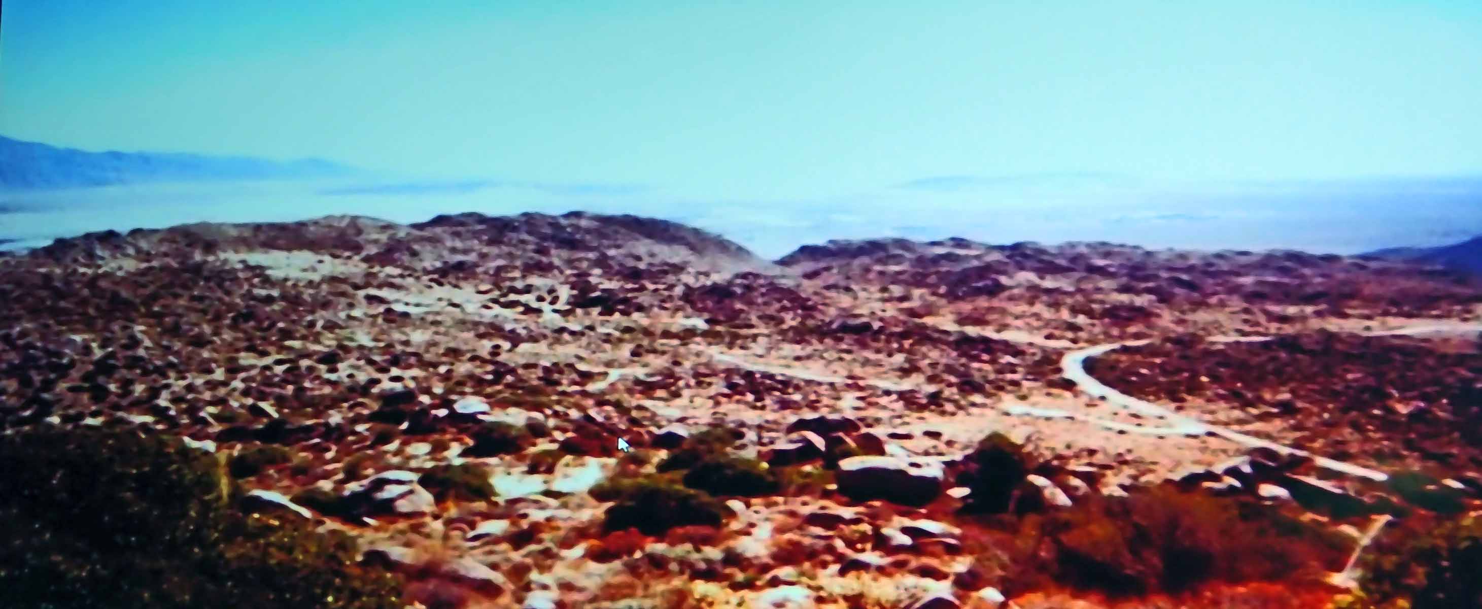
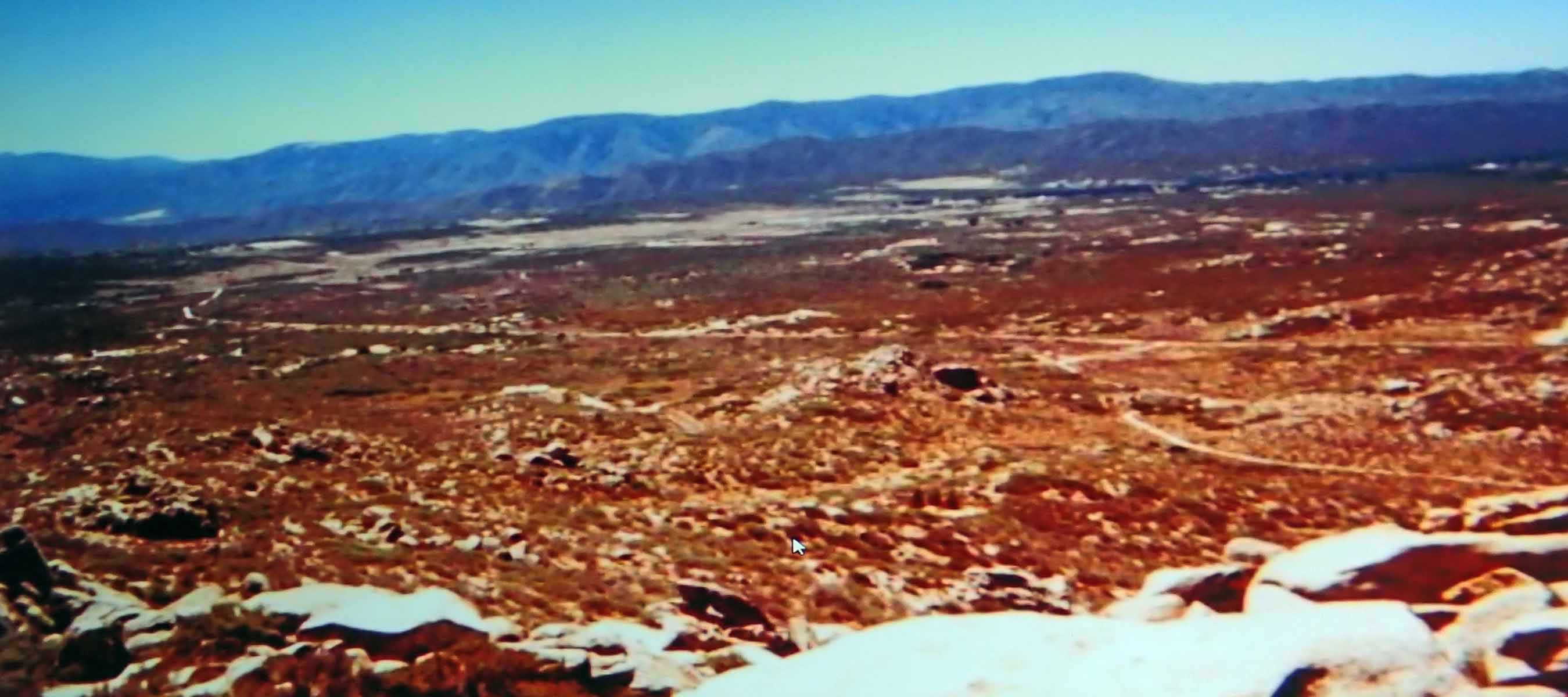
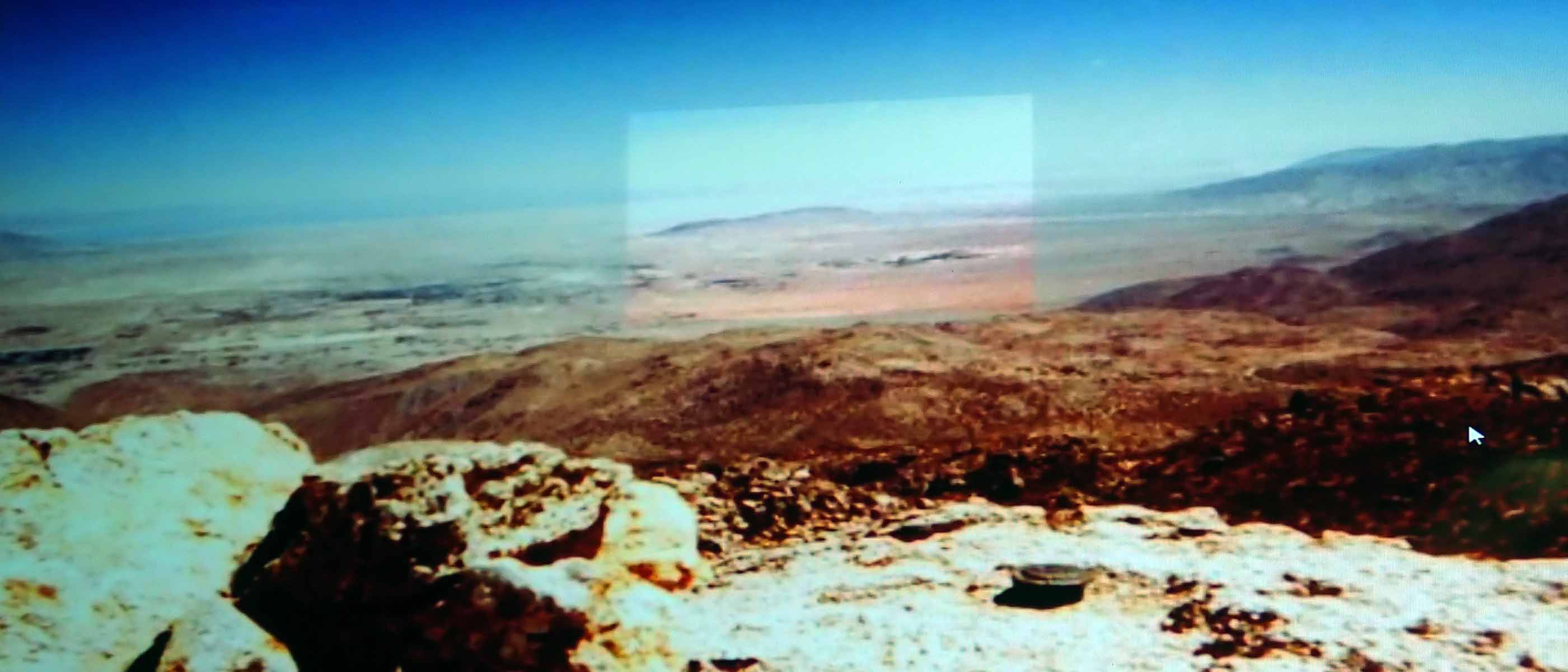
After 1 hour of hard hiking/bouldering, I almost turned around, but rested for 15 minutes and moved on. After hike got a bit easier, I found myself at the edge of Ranchita, coming within a stone throw of houses there. I then turned towards the Thimble, the original destination, but thought it was beyond my range for the day (it was somewhat hot). After another 15 minute rest in shade under a rocky cliff, walked up to closest peak, which has a USGS marker at top at an elevation of 5326' (about 1900' above starting point). This is a nice peak crown, and had a register which I signed. It had views of Ranchita and the Salton Sea, and visibility was good this day. Return trip was good until the 300' ascent up to the California Riding and Hiking Trail. At this point I was very tired, and took a couple long breaks on the ascent. The first and last mile of hike was on this trail.