| ||||
| La India | ||||
|
On the morning of the 30th, Jef, Kathy, and Holley, drove another 15 miles off-road from their campsite, 20 miles off-road to begin with. They arrived
ath the Cañon de Guadalupe just before noon, and, fortuneately found Ernesto's camp.
La India is the site we wound up with. These are pictures taken around this campsite, one of the 13 in Palmar. |
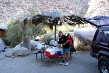 This palapa is part of La India
| 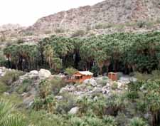 The structure at center is also part of the La India campsite, viewed from other side of canyon. el baño is to right | ||
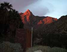
| 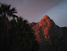 Early morning of NY eve
| 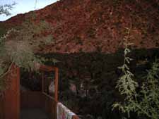 | ||
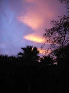
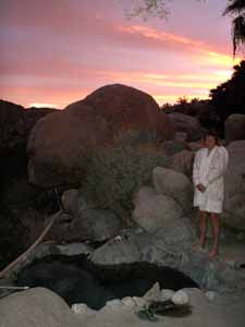
| 
| 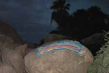 Drying towel on boulder by hot tub
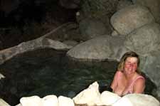 | ||
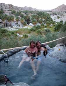
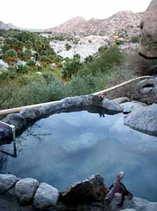
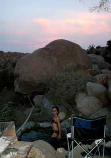
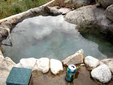
| 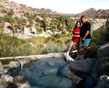 The cliff-side hot tub for La India
| 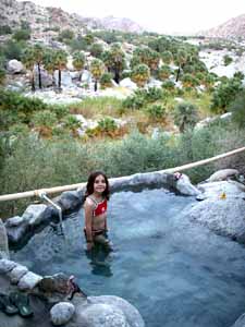 | ||
| 
| 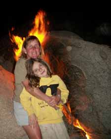 Dec. 30 fire | ||
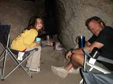
| 
| 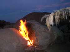 | ||
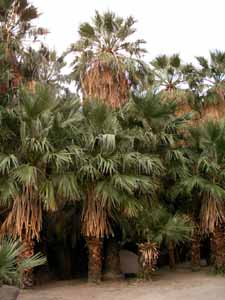
| 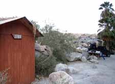 To left is tent put up in adjacent palm grove. Holley asked Nin if she could spend NY eve here, and he said "Why not?" Above is the back of the canyon overlook shed of La India.
| 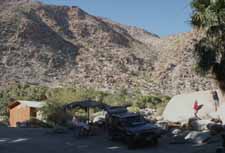 Front side of La India | ||
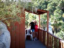
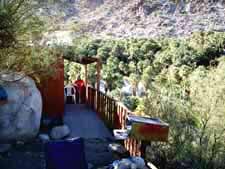
| 
| 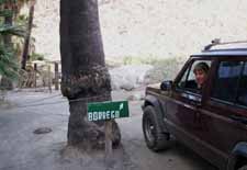 Borrego is campsite adjacent to La India | ||
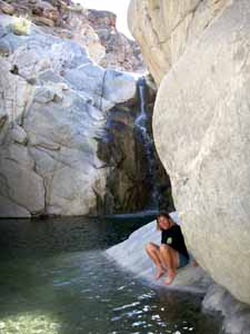
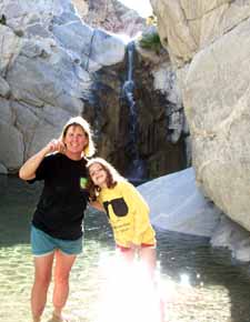
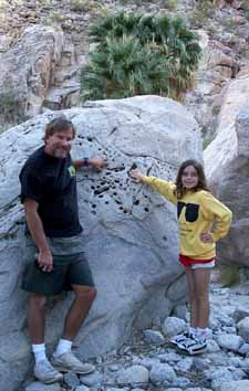
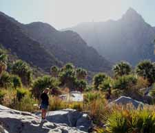
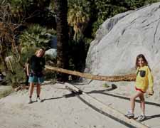
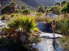
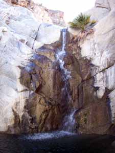
| Dec. 30 Waterfall Hike with Jef, Kathy, Holley | ||||
| 
|  | ||
| 
|  | ||
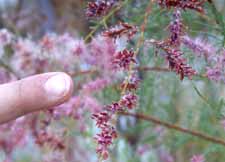
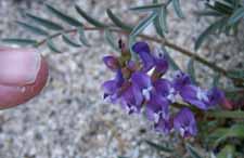
|  
| 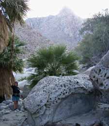 | ||
| NY Eve Multi-waterfall hike with Jef, Kathy | ||||
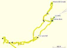 Map of hike
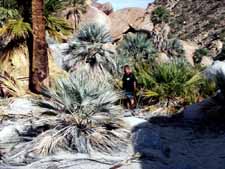
| 
| 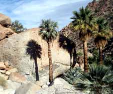 | ||
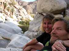
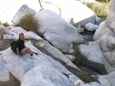
| 
| 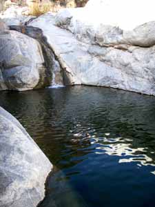 | ||
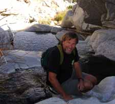
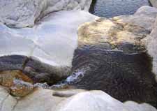
| 
| 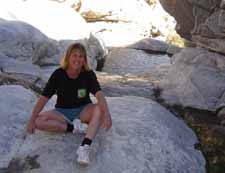 | ||
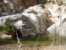
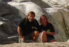
| 
| | ||
| NY Eve Fiesta | ||||
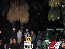 Nin has white cap. Holley and Kathy are in center. Ashes from fire are dots in these pictures.
| 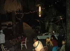
Nin made his famous Mexican hot chocolate with vanilla, cinnamin, special Mexican chocolate, and extra sugar.
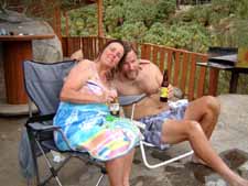
| Kathy brought a really good chicken dish, and Ernestina made pasole. About a dozen of us made it to midnite, sitting around a make-shift fire and did some big whoops! | ||
| NY Day | ||||
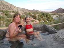 Kathy insisted on washing hair this morning!
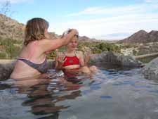
| 
| 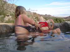 Rinsing over edge -- no soap in hot tub! | ||
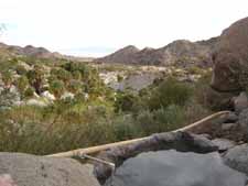
| 
|  | ||
| 
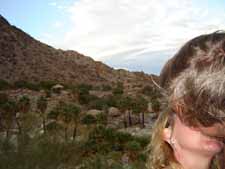
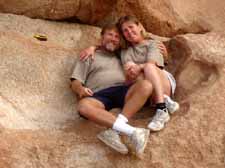
| 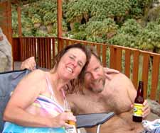 This is where Jef proposed to Kathy the prior afternoon. | ||
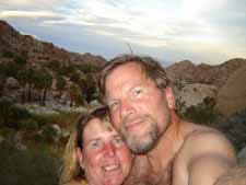
| 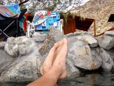 One last view from hot tub After cleaning up and packing, we stopped at entrance and found Kathy had forgot to pay Ernestina for firewood and beer the previous night (year), so we paid up and headed out.
| | ||
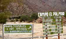 Backtracking, we found this is where we turned, but we could have...
| 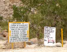 ...made the right (wrong) turn instead!
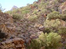
| 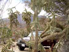 Terraine near entrance to canyon | ||
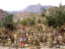 Note debris from previous bad campers
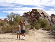
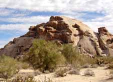
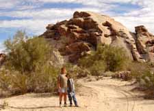
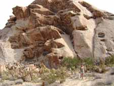
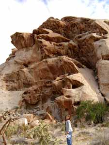
After leaving the immediate area, we decided to check out a nearby side wash, and wound up hiking about a mile and checking out this interesting hill -- reminiscent of a big scoop of ice cream with stuff in it. Or a carrot top.
|  MAP
|  | ||
| 
|  | ||
| 
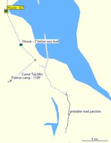
| 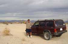 Lost at 32nd parallel, we decided to not take shortcut to San Felipe -- a wise decision! The following map shows area bottom of track is 32 degrees from equator, and our turn-around point: | ||
