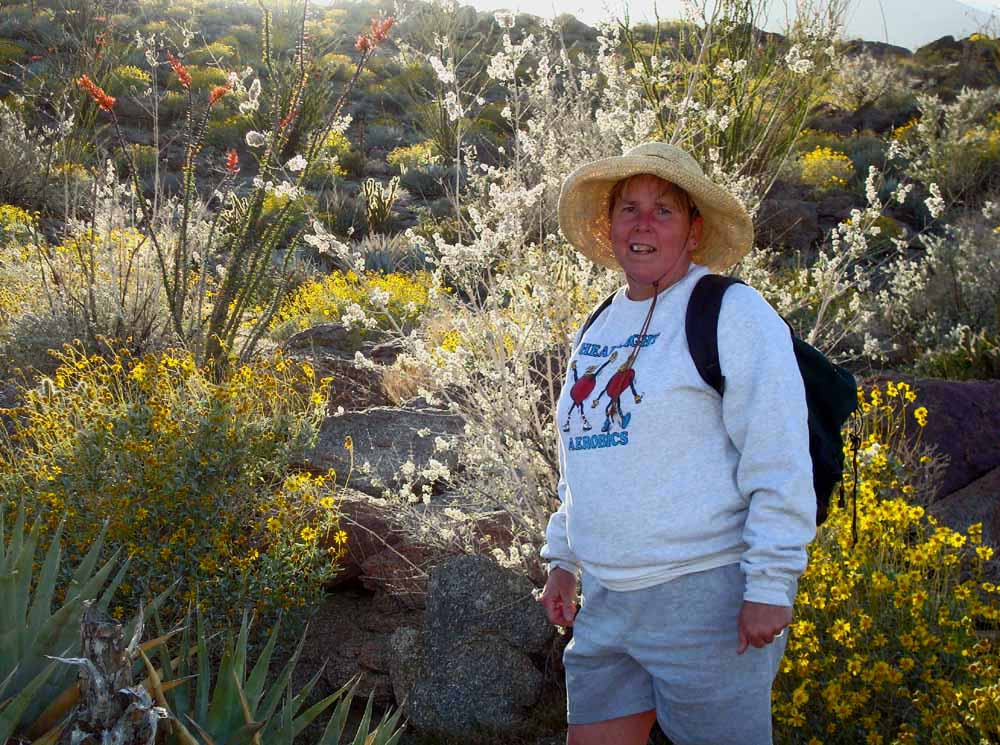
Hellhole Ridge / Surprise Canyon Loop, March 30, 2008 5-7 p.m. Jef, Kathy
|
![](hhs1s.jpg) Starting up switchbacks
| ![](hhs2s.jpg)
| ![](hhs3s.jpg)
|
![](hhs4s.jpg)
| ![](hhs5s.jpg)
| ![](hhs6s.jpg)
|
![](hhs7s.jpg)
| ![](hhs8s.jpg)
| ![](hhs9s.jpg)
|
![](hhsas.jpg) After reaching pass, we ascend up to the high point
| ![](hhsbs.jpg)
| ![](hhscs.jpg)
|
![](hhsds.jpg) Descending ridge
| ![](hhses.jpg) Bristly Gilia
| ![](hhsfs.jpg) Cholla bloom
|
![](hhsgs.jpg) Ocotillo bloom
| ![](hhshs.jpg)
| ![](hhsis.jpg)
|
![](hhsjs.jpg) This prominent alibaster rock formation was passed just before dropping down to road. Alibaster is the material that is ground up to make gypsum.
| ![](hhsks.jpg) Hedgehog cactus blooming near road
| ![](hhsls.jpg) "Woody bottlewasher" in bloom
|
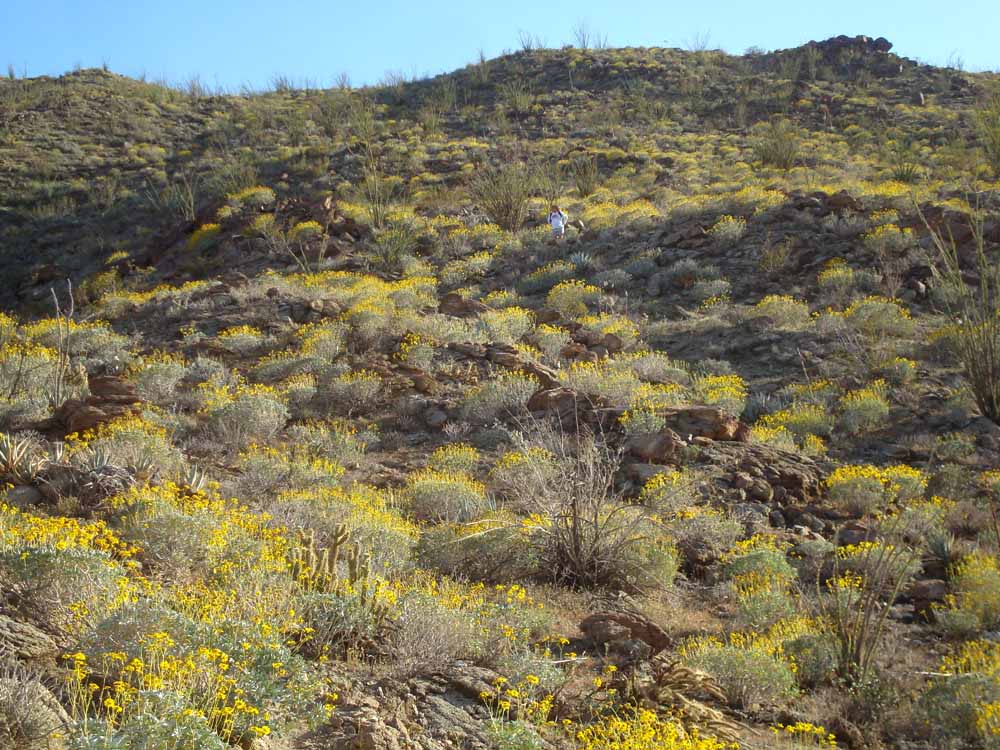
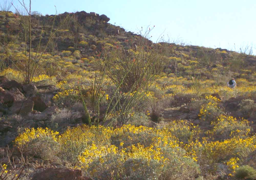
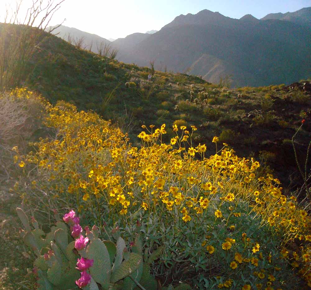
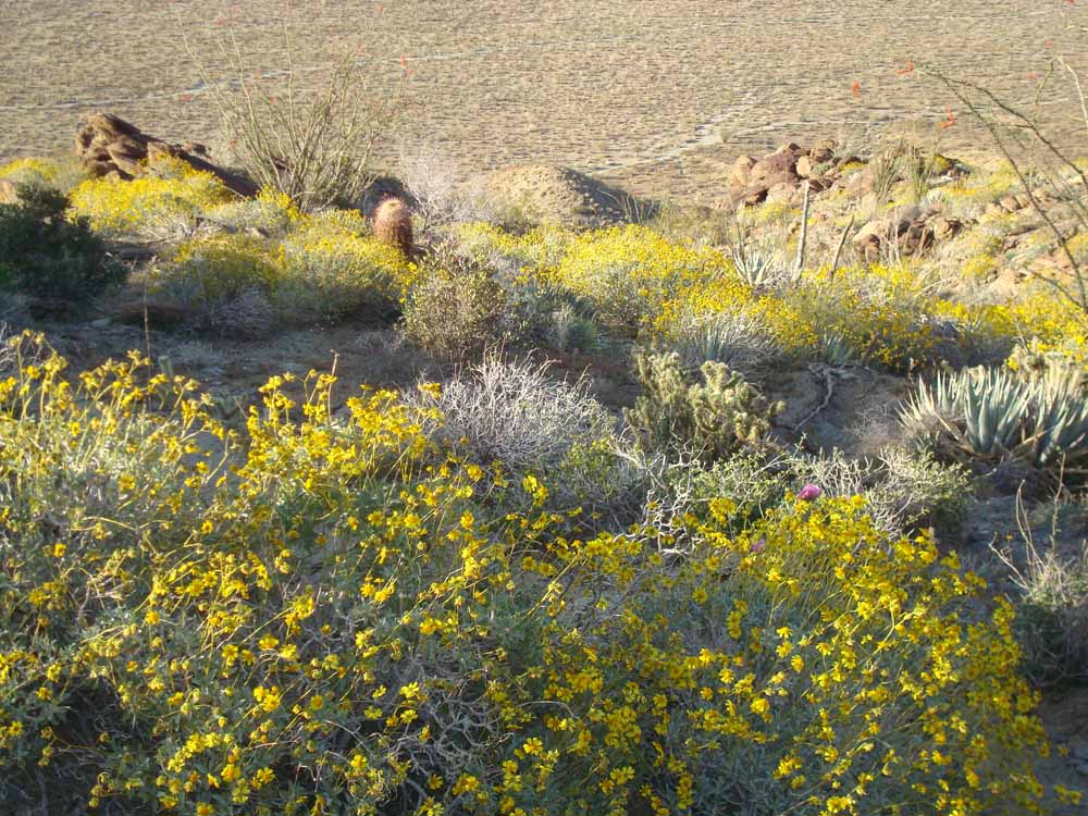
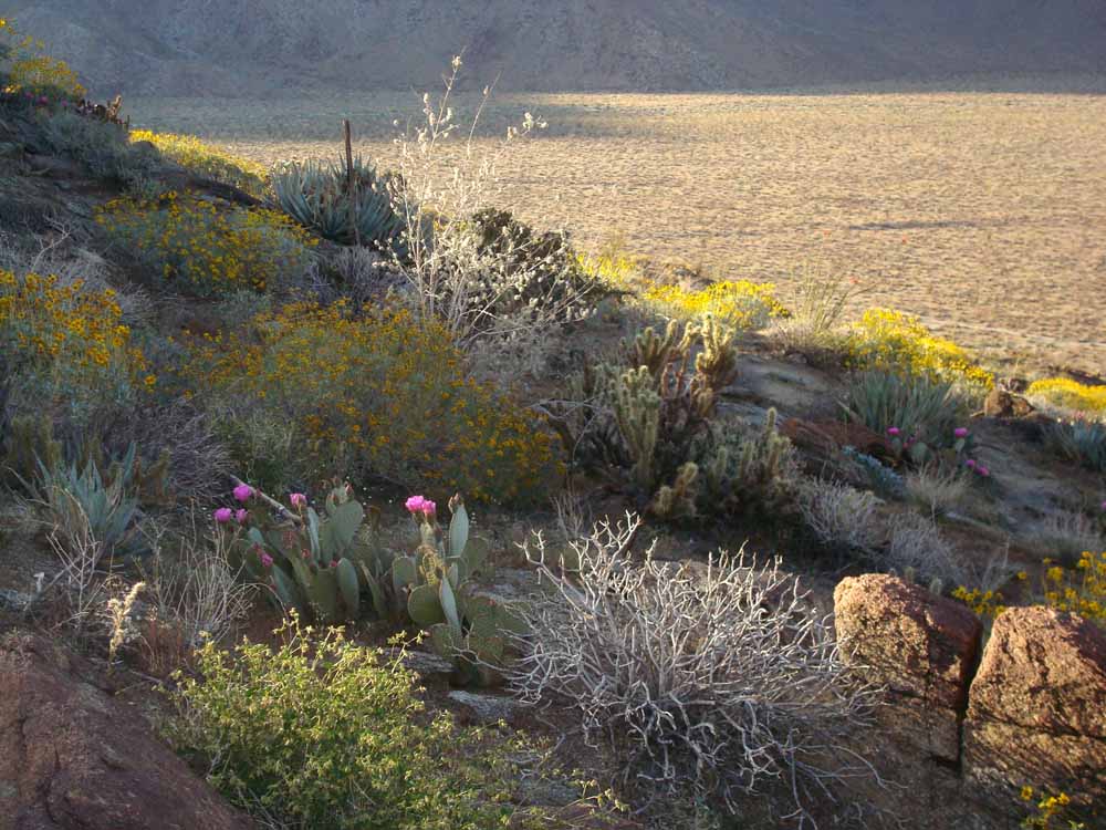
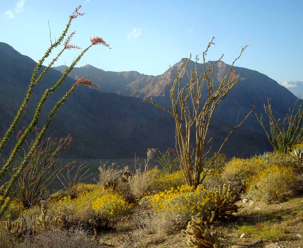
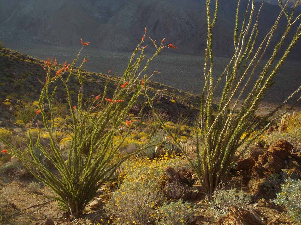
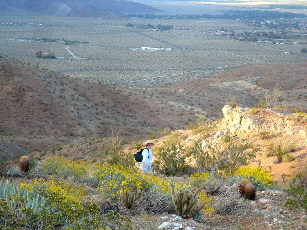
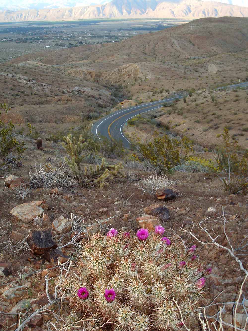
Total hike was only 1.9 miles, 1.9 hours, 660' vertical. To do hike, fork left on Calif. Riding and Hiking Trail, just under 1/4 mile from the trailhead, and go up the trail. The trail rises over 600' before reaching a pass. Just past 0.8 miles there's a fork to the left of a fading unused trail. We took this (the old trail) which his a high point 660' about the trailhead. We walked down a ridge from there until hitting the road. Walking down the road for about 100 yards before intercepting trail down Surprise Canyon which led straight to the parking area.
![](hhsloop.jpg) Trailhead is Hellhole Canyon parking area
|