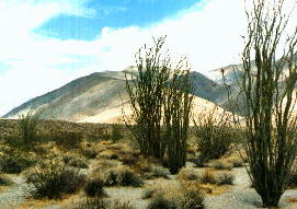

| Villager Ridge, as seen from the start of the hike at S-22. Rabbit Peak is not visible from this location. |
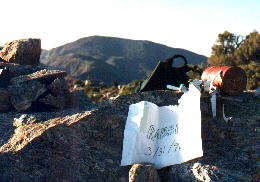
| This is Rabbit Peak, Viewed from Villager. Villager is about 60% of the way to Rabbit from S-22. |
| This is Jef at the summit of Rabbit Peak, elevation 6640'. Jef was surprised to find 3 hikers there, and got his picture taken. | 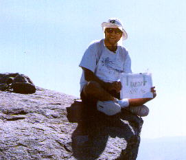
|
| This is the 2nd register on Rabbit Peak, by the survey marker at 6623'. This is 200 yards east of the summit. | 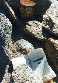
|
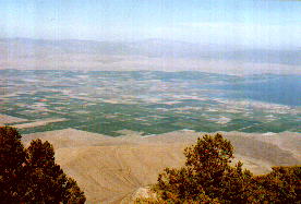
| The Coachella Valley is visible from Rabbit Peak. Here it is as it drains into the Salton Sea. |
| Looking off the west edge of Villager Ridge shows how high up this ridge is. Lower Rockhouse Canyon, in mid-ground is more than a mile below this vantage point. | 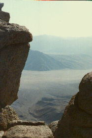
|
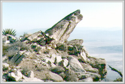
Rock Outcrop in pass between Villager and Rabbit PeaksJef took this picture March 31, 1996 near summit of Rabbit Peak which rises from 600', the level of Clark Dry Lake (seen at bottom right in the picture) to 6640' very rapidly. This rock outcrop is at about 5600'. Rabbit Peak is a 20 mile hike from S-22, and took 14 hours (left at 7 am, returned 9 pm, after dark again). |
|