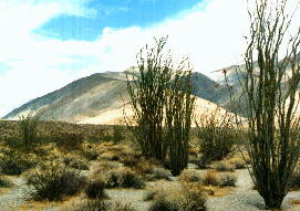

| Villager Ridge, as seen from the start of the hike at S-22. |
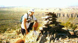 3/31/94 | This was my first visit to Villager Ridge. Mari took this photo. The first hike, which did not get much further than Villager, lasted 9 hours. |
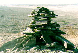 3/31/96 | 30 minutes into the hike, just after starting up Villager Ridge, hikers encounter this very sophisticated duck (or cairn). Rocks in the area are flat, and perfect for this type of oriental design. This is about the best duck in the whole park. Borrego Valley is in the background. |
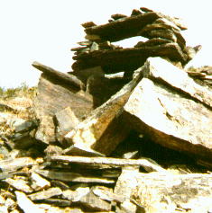 5/31/98 | The same cairn 2 years later. Somehow got damaged in the meantime. |
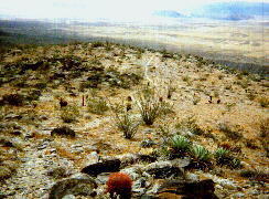
| The centuries-old trail is clearly visible 2 miles into the hike. |
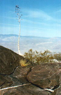
| This is the rocky area at the windbreak(not visible -- behind this boulder), probably built by the Cahuilla, midway up Villager Ridge. |
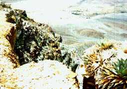
| Just beyond the midpoint of the ridge, the trail closely followed cliffs for over half a mile. Here is an agave growing in a precarious position. |
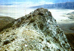
| The trail resembles a knife edge at this point 4 miles up the trail, with steep descents on both sides. |
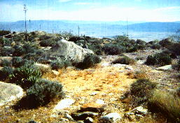
| The trail passes several sleeping circles on the way, including this one about 4.5 miles up the trail. This is the most confused agave I've ever seen (about 5.3 miles up trail). | 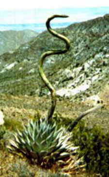
|
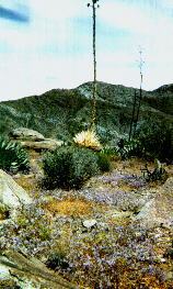
| Some sort of blue flowering ground cover(perhaps a gilia) was seen at this point (about 5 miles). This is looking up-trail. | 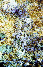
|
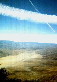
| At the top, I noticed a linear shadow moving across the valley floor. It corresponded to this contrail. |
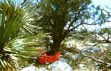
| I set up my space blanket under this pinyon and reviewed the register while at the top on May 31, 1998. |
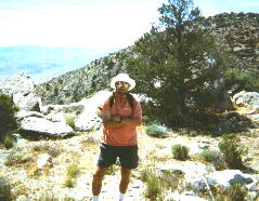
| Here I am on way back with Villager half a mile behind me. Steve took this picture. He was still on his way up, as Chris and Jim were slowing him down. |