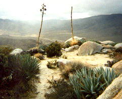
view from the top, looking
north west toward Grapevine
 view from the top, looking north west toward Grapevine | Hiked this 3 times. First time I took what I thought was the direct route, but wound up going too far west. Took the direct route down, however. The fact that rain was threatening allowed for some cool pix. Hike should take about 3 hours. For example, in 1999, it took 1h 35m to reach summit, and after a stay of 25m, it took 1h 5m to reach car (total of 3h 5m). This includes about a dozen stops to clear seeds, branches, leaves from shoes. It climbs 1500' from Tamarisk Grove. Altho rock cairns exist on top, no registers were found by me on the first trip. The register placed there by Karyn and I in 1997 was made shatter-resistant and red in 1999. No other messages were logged in the intevening 15 months! Hiking is difficult owing to steep rocky terraine with no trail, and lots of menacing vegetation, in order of quantity: agave, cholla, ocotillo, desert plum, catclaw acacia, barrel cactus, beavertail cactus, hedgehog cactus, and fishhook cactus. |
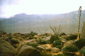 | The view looking SE. Mine Wash is closer wash. Pinyon Wash is furthest. Sunset Peak is shrouded in clouds.
| Karyn on the peak. The table on top of the peak is about 100 yards by about 40 yards. | 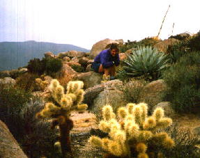
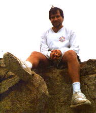 Here is Jef at the very top. After climbing the 8' high boulder on the peak.
| Karyn about half-way down the peak in a rather colourful area. | 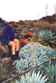
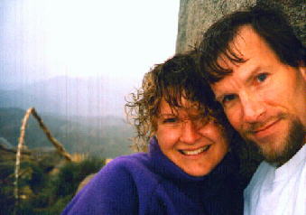 Jef and Karyn at the top.
| Karyn on the south easter promontory of the peak. | 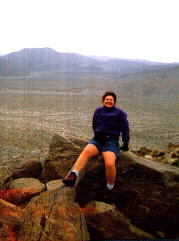
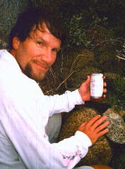 Jef placing a register on the peak.
| |